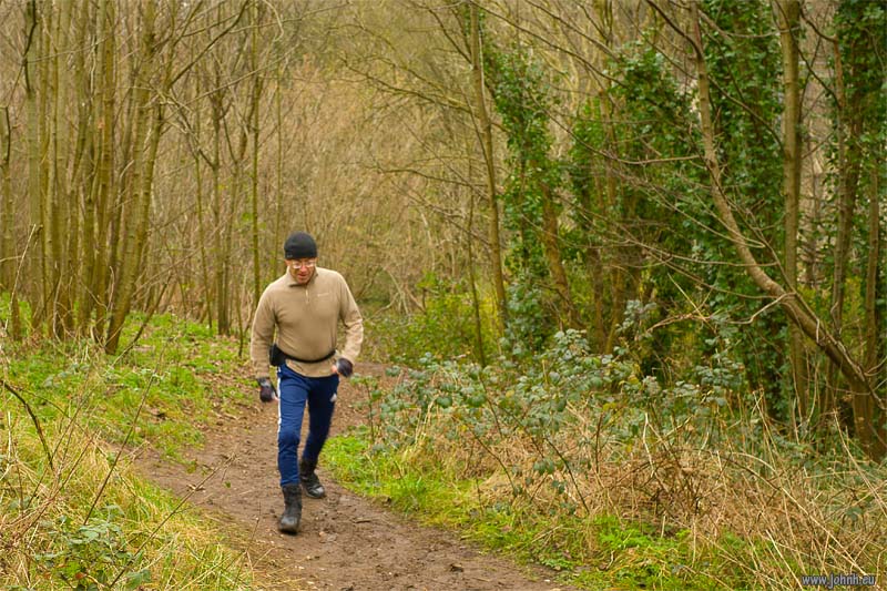
Hiking
Col de Morgiou (198 m.) - Col des Escourtines (183 m.) - Col des Baumettes (210 m.) - Col de Sormiou (181 m.)
Crisp hike in the stunning limestone of the Calanques, the cliffs and inlets that border the Mediterranean outside Marseille. Hiking from bus 23 terminus up a richly forested valley to reach the GR51-GR98 ridge path. Varied hiking on this sharp rock, partly footpath through the maquis (undergrowth of rosemary and low shrubs), partly gravel track but also sections of three-point scramble on the sharp limestone that’s been bleached and hardened by the sun and rain. Brisk and blustery Mistral wind keeping the air clear for plenty of sun and UV exposure. There was an unusually clear view back over urban Marseille to the snow on Mt. Ventoux (1910 m.), about 105 km to the north-north-west.
More photos: GR51-GR98 : Cols de Morgiou, des Baumettes et de Sormiou - Parc national des Calanques
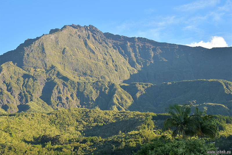
Piton des Neiges (3070 m.), view from Cilaos (1150 m.)
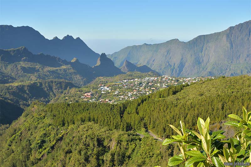
View of Cilaos village from GR R1. Indian Ocean horizon beyond the crater.
Hiking up the inside of the volcanic crater from the town of Cilaos on the GR R1 long-distance hiking route. This, the Forêt du Grand Matarum, is primal tropical forest, never harvested. But all the species have arrived from somewhere since the volcano went quiet so there’s a hotchpotch of trees and plants we know from Europe plus many from elsewhere.
More photos: Cilaos crater hike, Forêt du Grand Matarum GR R1 - Parc national de La Réunion
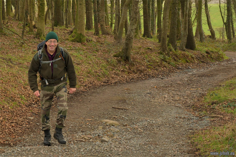
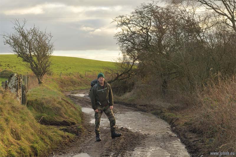
Warnings of ice on the roads in to the western valleys so we hiked from Seascale on public paths around West Cumbria livestock farms, in and out of the Lake District National Park. Another training hike building up for more major hikes. We loaded my rucksack up to 9.5 kg with 24 m. of climbing ropes, as well as my DSLR, snack, thermos, torch and the usual emergency kit. And kept the pace up.
More photos: West Cumbria training hike - Lake District National Park
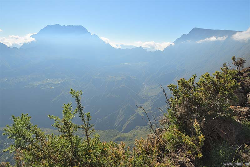
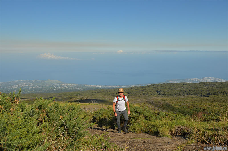
Piton des Neiges (3070 m.) on left, view from Le Maïdo
Hiking the Grand Bord, part of the rim of the Mafate volcano crater on the Indian Ocean island of La Réunion. Hike from the Le Maïdo parking (2205 m.) on the Route de la Glacière to an overlook at 2414 m.on the Grand Bord. A specific climate zone, plentiful sunshine (UV Index 15 today) plus moisture and temperatures result in small leaves and flowers on vegetation that is hardened to the conditions.
More photos: Mafate volcano crater rim hike - Parc national de La Réunion
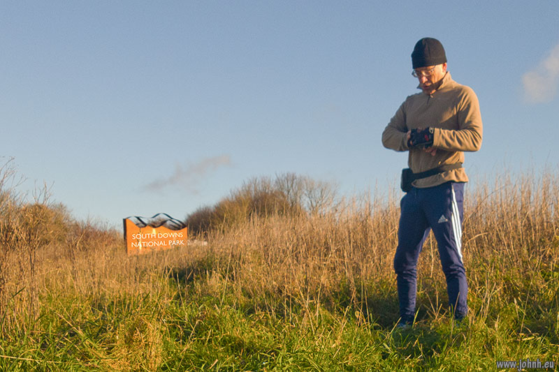
Training hikes every other day since I’ve been in Brighton for the festive season. All in expectation of some slightly more arduous hikes that I have planned for 2026. Oh and burning off Terry’s fantastic Christmas cooking.


